.
vessel URMILA IMO: 9285160, vesseltracker.com
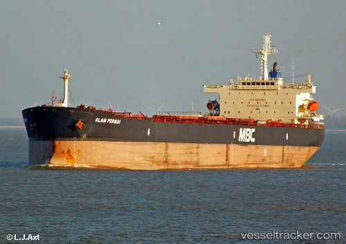
Vessel URMILA IMO: 9285160, MMSI: 525111011

callsign:
size: x

Live AIS position: UTC. 19 nm SW of Exspan), updated 2026-02-04 13:46:59 UTC.

Find the position of the vessel URMILA on the map. The latter are known coordinates and path.

marine traffic ship tracker show on live map

The current position of vessel URMILA is -2.08760 lat / 104.98362 lng. Updated: 2026-02-04 13:46:59 UTC
Details:


Last coordinates of the vessel:
UTC, -2.09359, 104.98490, course: -1, speed: 0.1
UTC, -2.09372, 104.98438, course: -1, speed: 0.1
UTC, -2.09312, 104.98504, course: -1, speed: 0.1
2026-02-04 13:46:59 UTC, -2.08760, 104.98362, course: -1, speed: 0.1


Most frequent ports a vessels calls at URMILA (525111011):

Makassar, traffic: 3
Cape St. Jacques, traffic: 2
Vung Tau, traffic: 2
Colonia, traffic: 2
Gemalink, traffic: 2
La Plata, traffic: 2
Rosario, traffic: 2
Sambu, traffic: 2
San Lorenzo, traffic: 2
San Nicolas, traffic: 2
San Pedro, traffic: 2
Villa Constitucion, traffic: 2
Santos, traffic: 1

Link to the map:


Find another ship

URMILA (525111011) last ports (portcalls and passsages)

Makassar | 2022-12-05 03:09:36
Makassar | 2022-10-29 04:06:50
Makassar | 2022-10-02 19:08:24
Vung Tau | 2022-05-22 04:40:48
Gemalink | 2022-05-18 10:59:44
Gemalink | 2022-05-14 10:35:02
Vung Tau | 2022-05-14 07:27:45
Santos | 2022-03-21 16:01:43
La Plata | 2022-03-15 20:47:39
San Pedro | 2022-03-15 06:55:52
San Nicolas | 2022-03-15 03:28:27
San Lorenzo | 2022-03-10 03:18:29
Rosario | 2022-03-10 00:00:02
Villa Constitucion | 2022-03-09 20:44:31
Colonia | 2022-03-09 03:20:01
Sambu | 2022-01-06 04:10:09