.
vessel Ocean Domina IMO: 9286619, Bulk Carrier
vesseltracker.com
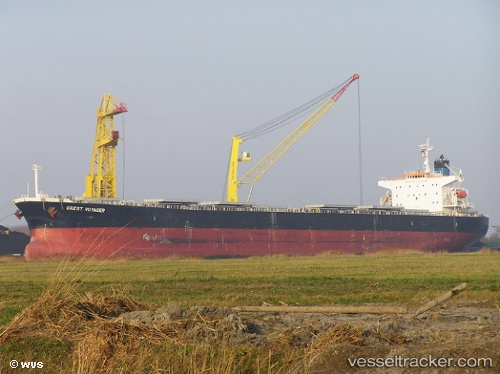
Vessel Ocean Domina IMO: 9286619, MMSI: 311000141 Bulk Carrier

callsign: C6AS7
size: 32x225

Live AIS position: UTC. 324 nm NE of Muara Teweh), updated 2025-08-23 09:40:56 UTC.

Find the position of the vessel Ocean Domina on the map. The latter are known coordinates and path.

marine traffic ship tracker show on live map

The current position of vessel Ocean Domina is -52.76557 lat / 120.79992 lng. Updated: 2025-08-23 09:40:56 UTC
Details:


Last coordinates of the vessel:
2025-08-23 09:40:56 UTC, -52.76557, 120.79992, course: 136, speed: 9


Most frequent ports a vessels calls at Ocean Domina (311000141):

Singapore, traffic: 8
Paradip, traffic: 6
Sambu, traffic: 3
Santos, traffic: 3
Haldia, traffic: 2
Tuticorin, traffic: 2
Penang, traffic: 2
Port Louis, traffic: 2
Colombo, traffic: 2
Kao-Hsiung Kang, traffic: 1
Port Elizabeth, traffic: 1
Kaohsiung, traffic: 1
Port Kelang, traffic: 1
Port Swettenham, traffic: 1
Qingdao, traffic: 1

Link to the map:


Find another ship

Ocean_Domina (311000141) last ports (portcalls and passsages)

Kaohsiung | 2023-05-01 08:58:40
Singapore | 2023-01-13 06:05:20
Singapore | 2023-01-09 05:56:44
Singapore | 2023-01-05 02:33:55
Singapore | 2023-01-01 02:27:48
Singapore | 2022-11-28 08:47:00
Paradip | 2022-10-16 08:01:59
Paradip | 2022-10-12 02:05:32
Singapore | 2022-09-26 04:28:11
Sambu | 2022-09-26 01:33:58
Penang | 2022-09-22 16:06:27
Penang | 2022-09-18 13:35:03
Singapore | 2022-09-17 01:10:50
Port Swettenham | 2022-09-08 10:26:41
Santos | 2022-07-29 13:32:55
Santos | 2022-07-21 10:49:00
Port Elizabeth | 2022-07-04 10:20:40
Singapore | 2022-05-26 08:02:55
Sambu | 2022-05-26 07:53:18
Qingdao | 2022-05-02 12:14:26
Santos | 2022-03-07 08:19:12
Port Louis | 2022-01-23 12:40:09
Colombo | 2021-12-26 03:55:01
Tuticorin | 2021-12-20 07:37:32
Paradip | 2021-12-12 14:31:29
Haldia | 2021-12-03 04:06:44
Paradip | 2021-12-01 00:32:51