 vesseltracker.com
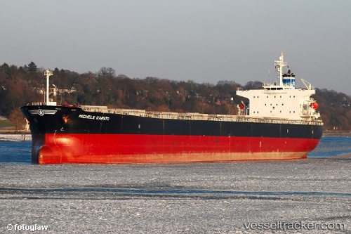
Vessel SANTA CRUZ IMO: 9287170, MMSI: 636016671
UTC, -0.51400, 58.02565, course: 236, speed: 13.3
UTC, -0.84460, 57.56380, course: 237, speed: 12.8
2026-02-19 22:18:18 UTC, -1.09977, 57.21928, course: 236, speed: 13.1
Live AIS position:
UTC. 213 nm NE of Anse Kerlan),
updated 2026-02-19 22:18:18 UTC.
Find the position of the vessel SANTA CRUZ on the map. The latter are known coordinates and path.
marine traffic ship tracker show on live map
The current position of vessel SANTA CRUZ is -1.09977 lat / 57.21928 lng. Updated: 2026-02-19 22:18:18 UTCDetails:
Last coordinates of the vessel:
UTC, -0.25587, 58.37452, course: 236, speed: 13.3UTC, -0.51400, 58.02565, course: 236, speed: 13.3
UTC, -0.84460, 57.56380, course: 237, speed: 12.8
2026-02-19 22:18:18 UTC, -1.09977, 57.21928, course: 236, speed: 13.1