 vesseltracker.com
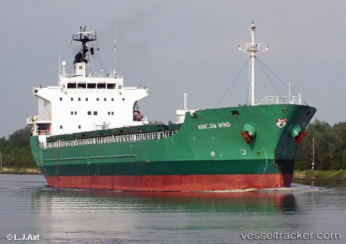
Vessel Longwave IMO: 9287314, MMSI: 244130873 General Cargo Ship
UTC, 8.15667, -15.36833, course: -1, speed: 10
UTC, 8.60188, -15.68031, course: 318, speed: 10.3
2026-02-14 19:41:29 UTC, 8.75580, -15.80513, course: 321, speed: 10.3
Live AIS position:
UTC. 124 nm SW of Port de Boké),
updated 2026-02-14 19:41:29 UTC.
Find the position of the vessel Longwave on the map. The latter are known coordinates and path.
marine traffic ship tracker show on live map
The current position of vessel Longwave is 8.75580 lat / -15.80513 lng. Updated: 2026-02-14 19:41:29 UTCCurrently sailing under the flag of Netherlands
Longwave built in 2004 year
Deadweight:
13777 tDetails:
Last coordinates of the vessel:
UTC, 7.89333, -15.17667, course: -1, speed: 10UTC, 8.15667, -15.36833, course: -1, speed: 10
UTC, 8.60188, -15.68031, course: 318, speed: 10.3
2026-02-14 19:41:29 UTC, 8.75580, -15.80513, course: 321, speed: 10.3