 vesseltracker.com
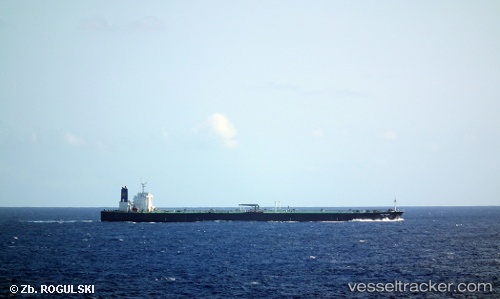
Vessel '352986188' IMO: 9288083, MMSI: 352986188
UTC, -0.83280, 106.81387, course: 8, speed: 11.2
UTC, -0.60979, 106.65528, course: 3, speed: 11.2
2026-01-31 17:51:52 UTC, -0.28962, 106.42758, course: 9, speed: 11.2
Live AIS position:
UTC. 110 nm N of PANGKAL BALAM),
updated 2026-01-31 17:51:52 UTC.
Find the position of the vessel '352986188' on the map. The latter are known coordinates and path.
marine traffic ship tracker show on live map
The current position of vessel '352986188' is -0.28962 lat / 106.42758 lng. Updated: 2026-01-31 17:51:52 UTCDetails:
Last coordinates of the vessel:
UTC, -1.16698, 107.01655, course: 24, speed: 11.2UTC, -0.83280, 106.81387, course: 8, speed: 11.2
UTC, -0.60979, 106.65528, course: 3, speed: 11.2
2026-01-31 17:51:52 UTC, -0.28962, 106.42758, course: 9, speed: 11.2