.
vessel CARMEN IMO: 9290086, Crude Oil Tanker vesseltracker.com
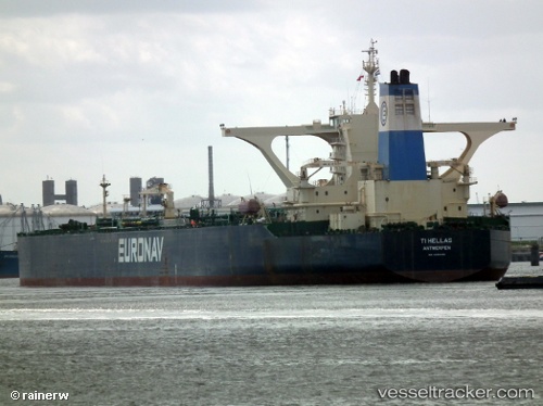
Vessel CARMEN IMO: 9290086, MMSI: 371386000 Crude Oil Tanker

callsign: 3FRT9
size: 60x333

Live AIS position: UTC. 47 nm SE of DONGJIAKOU), updated 2026-02-25 17:49:40 UTC.

Find the position of the vessel CARMEN on the map. The latter are known coordinates and path.

marine traffic ship tracker show on live map

The current position of vessel CARMEN is 35.07500 lat / 120.52333 lng. Updated: 2026-02-25 17:49:40 UTC

Currently sailing under the flag of Panama

CARMEN built in 2005 year

Deadweight:
319254 t

Details:


Last coordinates of the vessel:
UTC, 35.07579, 120.51762, course: -1, speed: 0
UTC, 35.07516, 120.51781, course: -1, speed: 0.1
UTC, 35.07289, 120.52086, course: 12, speed: 0.2
2026-02-25 17:49:40 UTC, 35.07500, 120.52333, course: -1, speed: 0


Most frequent ports a vessels calls at CARMEN (371386000):

DUBAI, traffic: 5
Fujairah, traffic: 4
BATU AMPAR, traffic: 3
PULAU SAMBU, traffic: 2
TANAH MERAH, traffic: 2
Sambu, traffic: 2
PENGERANG, traffic: 1
BUKOM ISLAND, traffic: 1
Az Zarqa Island, traffic: 1
Das Island, traffic: 1
PORT DICKSON, traffic: 1
Halul Island, traffic: 1
Ras Tannurah, traffic: 1
Singapore, traffic: 1
DONGJIAKOU, traffic: 1

Link to the map:


Find another ship

CARMEN (371386000) last ports (portcalls and passsages)

DONGJIAKOU | 2025-09-04 05:42:58
BATU AMPAR | 2025-08-02 07:55:57
PORT DICKSON | 2025-07-25 02:10:39
PULAU SAMBU | 2025-07-24 05:51:51
TANAH MERAH | 2025-07-24 05:07:14
PENGERANG | 2025-07-22 00:39:23
TANAH MERAH | 2025-07-19 02:24:42
BATU AMPAR | 2025-07-19 01:41:07
BUKOM ISLAND | 2025-07-19 00:46:53
DUBAI | 2025-03-02 13:24:23
DUBAI | 2025-02-26 13:23:52
DUBAI | 2025-02-22 13:10:26
DUBAI | 2025-02-18 13:07:29
DUBAI | 2025-02-14 12:59:28
Ras Tannurah | 2023-12-05 07:04:49
Halul Island | 2023-12-01 20:22:12
Das Island | 2023-11-16 08:04:49
Az Zarqa Island | 2023-11-14 19:39:22
Fujairah | 2023-10-25 07:40:38
Fujairah | 2023-10-21 07:01:09
Fujairah | 2023-05-22 18:21:51
Fujairah | 2023-02-20 11:38:51