 vesseltracker.com
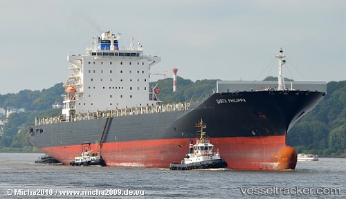
Vessel MSC SANTA MARIA IMO: 9290426, MMSI: 352001168 Container Ship
UTC, 36.29661, 17.12317, course: 265, speed: 15
UTC, 36.29729, 16.40240, course: 269, speed: 14.8
2026-01-24 03:26:53 UTC, 36.30528, 16.02677, course: 271, speed: 14.7
Live AIS position:
UTC. 28 nm E of Villafranca Tirrena),
updated 2026-01-24 03:26:53 UTC.
Find the position of the vessel MSC SANTA MARIA on the map. The latter are known coordinates and path.
marine traffic ship tracker show on live map
The current position of vessel MSC SANTA MARIA is 36.30528 lat / 16.02677 lng. Updated: 2026-01-24 03:26:53 UTCCurrently sailing under the flag of Panama
MSC SANTA MARIA built in 2005 year
Deadweight:
67273 tDetails:
Last coordinates of the vessel:
UTC, 36.30420, 17.56138, course: 269, speed: 15.3UTC, 36.29661, 17.12317, course: 265, speed: 15
UTC, 36.29729, 16.40240, course: 269, speed: 14.8
2026-01-24 03:26:53 UTC, 36.30528, 16.02677, course: 271, speed: 14.7