 vesseltracker.com
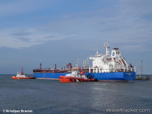
Vessel VAYU 1 IMO: 9290517, MMSI: 613445600 Oil/Chemical Tanker
UTC, 70.84776, 31.35396, course: 122, speed: 12.3
UTC, 70.59715, 32.37871, course: 121, speed: 13.5
2026-02-23 06:13:19 UTC, 70.28420, 33.35849, course: 170, speed: 13.8
Live AIS position:
UTC. 43 nm NE of Ozerko),
updated 2026-02-23 06:13:19 UTC.
Find the position of the vessel VAYU 1 on the map. The latter are known coordinates and path.
marine traffic ship tracker show on live map
The current position of vessel VAYU 1 is 70.28420 lat / 33.35849 lng. Updated: 2026-02-23 06:13:19 UTCCurrently sailing under the flag of Cameroon
Details:
Last coordinates of the vessel:
UTC, 71.07863, 30.38177, course: 124, speed: 13UTC, 70.84776, 31.35396, course: 122, speed: 12.3
UTC, 70.59715, 32.37871, course: 121, speed: 13.5
2026-02-23 06:13:19 UTC, 70.28420, 33.35849, course: 170, speed: 13.8