 vesseltracker.com
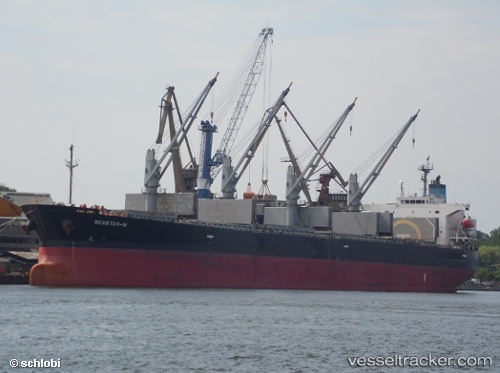
Vessel Besiktas m IMO: 9291365, MMSI: 355801000 Bulk Carrier
UTC, -28.93780, 33.08645, course: 38, speed: 9.5
UTC, -28.68544, 33.29250, course: 31, speed: 9.5
2026-02-08 10:29:26 UTC, -28.32148, 33.57017, course: 30, speed: 9.1
Live AIS position:
UTC. 82 nm E of Richards Bay),
updated 2026-02-08 10:29:26 UTC.
Find the position of the vessel Besiktas m on the map. The latter are known coordinates and path.
marine traffic ship tracker show on live map
The current position of vessel Besiktas m is -28.32148 lat / 33.57017 lng. Updated: 2026-02-08 10:29:26 UTCDetails:
Last coordinates of the vessel:
UTC, -29.10594, 32.89684, course: 48, speed: 9.2UTC, -28.93780, 33.08645, course: 38, speed: 9.5
UTC, -28.68544, 33.29250, course: 31, speed: 9.5
2026-02-08 10:29:26 UTC, -28.32148, 33.57017, course: 30, speed: 9.1