 vesseltracker.com
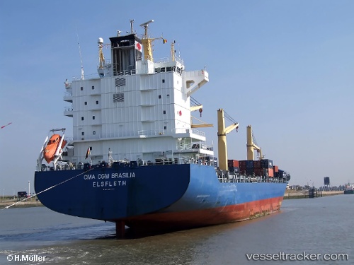
Vessel Julius S IMO: 9294018, MMSI: 304010000 Container Ship
UTC, 8.48729, 111.10816, course: 199, speed: 12
UTC, 8.48729, 111.10816, course: 199, speed: 12
2026-02-28 17:32:01 UTC, 7.59702, 110.71739, course: -1, speed: 12.7
Live AIS position:
UTC. Near Colomadu),
updated 2026-02-28 17:32:01 UTC.
Find the position of the vessel Julius S on the map. The latter are known coordinates and path.
marine traffic ship tracker show on live map
The current position of vessel Julius S is 7.59702 lat / 110.71739 lng. Updated: 2026-02-28 17:32:01 UTCCurrently sailing under the flag of Antigua Barbuda
Julius S built in 2004 year
Deadweight:
33742 tDetails:
Last coordinates of the vessel:
UTC, 9.15950, 111.40199, course: 202, speed: 13UTC, 8.48729, 111.10816, course: 199, speed: 12
UTC, 8.48729, 111.10816, course: 199, speed: 12
2026-02-28 17:32:01 UTC, 7.59702, 110.71739, course: -1, speed: 12.7