 vesseltracker.com
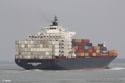
Vessel GH LEVANT IMO: 9295414, MMSI: 538008593
UTC, 14.64249, 130.35085, course: 325, speed: 14.2
UTC, 14.86820, 130.17918, course: 324, speed: 14.1
2026-02-10 04:36:56 UTC, 14.86820, 130.17918, course: 324, speed: 14.1
Live AIS position:
UTC. 344 nm E of Gigmoto, Catanduanes),
updated 2026-02-10 04:36:56 UTC.
Find the position of the vessel GH LEVANT on the map. The latter are known coordinates and path.
marine traffic ship tracker show on live map
The current position of vessel GH LEVANT is 14.86820 lat / 130.17918 lng. Updated: 2026-02-10 04:36:56 UTCDetails:
Last coordinates of the vessel:
UTC, 14.03908, 130.79599, course: 326, speed: 14.7UTC, 14.64249, 130.35085, course: 325, speed: 14.2
UTC, 14.86820, 130.17918, course: 324, speed: 14.1
2026-02-10 04:36:56 UTC, 14.86820, 130.17918, course: 324, speed: 14.1