 vesseltracker.com
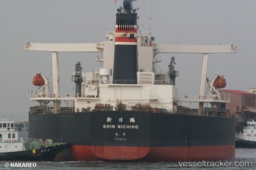
Vessel SUNNY ROUTE IMO: 9296420, MMSI: 636020906 Bulk Carrier
UTC, 11.98965, 110.00616, course: 193, speed: 12.9
UTC, 11.71852, 109.91952, course: 199, speed: 13.3
2026-02-28 17:07:42 UTC, 11.42937, 109.82195, course: 205, speed: 14
Live AIS position:
UTC. 48 nm SE of Vinh Cam Ranh),
updated 2026-02-28 17:07:42 UTC.
Find the position of the vessel SUNNY ROUTE on the map. The latter are known coordinates and path.
marine traffic ship tracker show on live map
The current position of vessel SUNNY ROUTE is 11.42937 lat / 109.82195 lng. Updated: 2026-02-28 17:07:42 UTCCurrently sailing under the flag of Liberia
SUNNY ROUTE built in 2005 year
Deadweight:
203180 tDetails:
Last coordinates of the vessel:
UTC, 12.50217, 109.98214, course: 179, speed: 13.2UTC, 11.98965, 110.00616, course: 193, speed: 12.9
UTC, 11.71852, 109.91952, course: 199, speed: 13.3
2026-02-28 17:07:42 UTC, 11.42937, 109.82195, course: 205, speed: 14