 vesseltracker.com
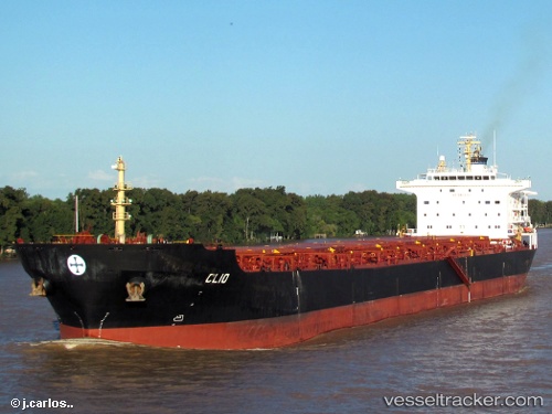
Vessel Harvest IMO: 9297931, MMSI: 538008774 Bulk Carrier
UTC, -5.67073, 79.60074, course: 54, speed: 11.4
UTC, -5.38350, 79.97953, course: 55, speed: 11.4
2026-02-11 17:11:53 UTC, -5.27892, 80.11758, course: 53, speed: 11.4
Live AIS position:
UTC. Open sea, approx. 539 nm off the nearest listed port),
updated 2026-02-11 17:11:53 UTC.
Find the position of the vessel Harvest on the map. The latter are known coordinates and path.
marine traffic ship tracker show on live map
The current position of vessel Harvest is -5.27892 lat / 80.11758 lng. Updated: 2026-02-11 17:11:53 UTCCurrently sailing under the flag of Marshall Islands
Details:
Last coordinates of the vessel:
UTC, -5.93592, 79.26256, course: 51, speed: 11.4UTC, -5.67073, 79.60074, course: 54, speed: 11.4
UTC, -5.38350, 79.97953, course: 55, speed: 11.4
2026-02-11 17:11:53 UTC, -5.27892, 80.11758, course: 53, speed: 11.4