 vesseltracker.com
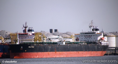
Vessel Meltemi I IMO: 9298741, MMSI: 636024397 Crude Oil Tanker
UTC, 5.06650, 93.61025, course: 49, speed: 11.7
UTC, 5.29337, 93.98643, course: 48, speed: 12
2026-02-18 14:03:31 UTC, 5.66557, 94.36548, course: 48, speed: 12.7
Live AIS position:
UTC. 54 nm W of LHOKNGA),
updated 2026-02-18 14:03:31 UTC.
Find the position of the vessel Meltemi I on the map. The latter are known coordinates and path.
marine traffic ship tracker show on live map
The current position of vessel Meltemi I is 5.66557 lat / 94.36548 lng. Updated: 2026-02-18 14:03:31 UTCCurrently sailing under the flag of Liberia
Meltemi I built in 0 year
Deadweight:
0 tDetails:
Last coordinates of the vessel:
UTC, 4.88608, 93.40145, course: 53, speed: 12.1UTC, 5.06650, 93.61025, course: 49, speed: 11.7
UTC, 5.29337, 93.98643, course: 48, speed: 12
2026-02-18 14:03:31 UTC, 5.66557, 94.36548, course: 48, speed: 12.7