 vesseltracker.com
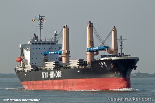
Vessel Ise IMO: 9300893, MMSI: 356601000 Multi Purpose Carrier
UTC, 34.24923, 133.42395, course: 74, speed: 12.9
UTC, 34.24923, 133.42395, course: 74, speed: 12.9
2026-02-27 00:03:02 UTC, 34.72712, 134.63075, course: -1, speed: 6.4
Live AIS position:
UTC. Near HIRAHATA),
updated 2026-02-27 00:03:02 UTC.
Find the position of the vessel Ise on the map. The latter are known coordinates and path.
marine traffic ship tracker show on live map
The current position of vessel Ise is 34.72712 lat / 134.63075 lng. Updated: 2026-02-27 00:03:02 UTCDetails:
Last coordinates of the vessel:
UTC, 34.24923, 133.42395, course: 74, speed: 12.9UTC, 34.24923, 133.42395, course: 74, speed: 12.9
UTC, 34.24923, 133.42395, course: 74, speed: 12.9
2026-02-27 00:03:02 UTC, 34.72712, 134.63075, course: -1, speed: 6.4