 vesseltracker.com
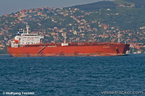
Vessel Nave Cielo IMO: 9301976, MMSI: 319767000 Crude Oil Tanker
UTC, 17.76975, 66.21828, course: 318, speed: 13.2
UTC, 18.02088, 65.91188, course: 317, speed: 13.6
2026-02-16 01:41:20 UTC, 18.27946, 65.62115, course: 310, speed: 13.8
Live AIS position:
UTC. 311 nm SW of Veraval),
updated 2026-02-16 01:41:20 UTC.
Find the position of the vessel Nave Cielo on the map. The latter are known coordinates and path.
marine traffic ship tracker show on live map
The current position of vessel Nave Cielo is 18.27946 lat / 65.62115 lng. Updated: 2026-02-16 01:41:20 UTCDetails:
Last coordinates of the vessel:
UTC, 17.35163, 66.69469, course: 314, speed: 12.9UTC, 17.76975, 66.21828, course: 318, speed: 13.2
UTC, 18.02088, 65.91188, course: 317, speed: 13.6
2026-02-16 01:41:20 UTC, 18.27946, 65.62115, course: 310, speed: 13.8