 vesseltracker.com
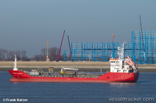
Vessel ADAMARIS IMO: 9302011, MMSI: 341019000 Bunkering Tanker
UTC, 24.79578, 56.57227, course: 11, speed: 0
UTC, 24.79580, 56.57220, course: 11, speed: 0
2026-02-21 11:30:14 UTC, 24.79587, 56.57205, course: 27, speed: 0
Live AIS position:
UTC. Near SHINAS),
updated 2026-02-21 11:30:14 UTC.
Find the position of the vessel ADAMARIS on the map. The latter are known coordinates and path.
marine traffic ship tracker show on live map
The current position of vessel ADAMARIS is 24.79587 lat / 56.57205 lng. Updated: 2026-02-21 11:30:14 UTCCurrently sailing under the flag of St.Kitts and Nevis
ADAMARIS built in 2005 year
Deadweight:
1773 tDetails:
Last coordinates of the vessel:
UTC, 24.79577, 56.57270, course: 330, speed: 0UTC, 24.79578, 56.57227, course: 11, speed: 0
UTC, 24.79580, 56.57220, course: 11, speed: 0
2026-02-21 11:30:14 UTC, 24.79587, 56.57205, course: 27, speed: 0