 vesseltracker.com
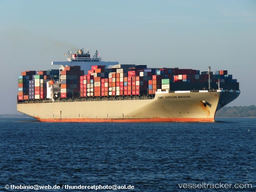
Vessel Henry Hudson IMO: 9302176, MMSI: 370587000 Container Ship
UTC, 25.31667, 178.28833, course: -1, speed: 13
UTC, 25.36438, 177.81671, course: 281, speed: 13.2
2026-02-01 16:09:53 UTC, 25.43387, 177.18028, course: 281, speed: 14
Live AIS position:
UTC. Open sea (no nearby ports in database)),
updated 2026-02-01 16:09:53 UTC.
Find the position of the vessel Henry Hudson on the map. The latter are known coordinates and path.
marine traffic ship tracker show on live map
The current position of vessel Henry Hudson is 25.43387 lat / 177.18028 lng. Updated: 2026-02-01 16:09:53 UTCCurrently sailing under the flag of Panama
Henry Hudson built in 2008 year
Deadweight:
98849 tDetails:
Last coordinates of the vessel:
UTC, 25.28795, 178.64478, course: 280, speed: 13.3UTC, 25.31667, 178.28833, course: -1, speed: 13
UTC, 25.36438, 177.81671, course: 281, speed: 13.2
2026-02-01 16:09:53 UTC, 25.43387, 177.18028, course: 281, speed: 14