 vesseltracker.com
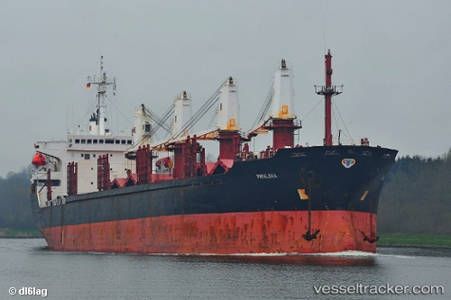
Vessel JAOHAR UK IMO: 9302463, MMSI: 314609000 Bulk Carrier
UTC, 13.20167, 49.35167, course: -1, speed: 11
UTC, 13.30196, 49.68032, course: 73, speed: 11.8
2026-02-19 00:28:24 UTC, 13.48333, 50.25333, course: -1, speed: 12
Live AIS position:
UTC. 57 nm SW of Reinhardtsdorf-Schöna),
updated 2026-02-19 00:28:24 UTC.
Find the position of the vessel JAOHAR UK on the map. The latter are known coordinates and path.
marine traffic ship tracker show on live map
The current position of vessel JAOHAR UK is 13.48333 lat / 50.25333 lng. Updated: 2026-02-19 00:28:24 UTCCurrently sailing under the flag of Barbados
JAOHAR UK built in 2005 year
Deadweight:
27112 tDetails:
Last coordinates of the vessel:
UTC, 13.11336, 49.05486, course: 81, speed: 10.7UTC, 13.20167, 49.35167, course: -1, speed: 11
UTC, 13.30196, 49.68032, course: 73, speed: 11.8
2026-02-19 00:28:24 UTC, 13.48333, 50.25333, course: -1, speed: 12