 vesseltracker.com
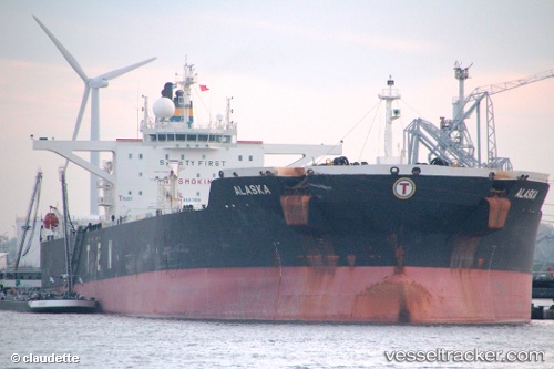
Vessel Alaska IMO: 9302607, MMSI: 538008784 Oil And Chemical Tanker
UTC, 30.29010, -13.15634, course: 43, speed: 10.1
UTC, 30.50434, -12.92389, course: 42, speed: 10.3
2026-02-13 23:59:04 UTC, 30.79348, -12.61051, course: 40, speed: 10
Live AIS position:
UTC. 104 nm NE of ORZOLA),
updated 2026-02-13 23:59:04 UTC.
Find the position of the vessel Alaska on the map. The latter are known coordinates and path.
marine traffic ship tracker show on live map
The current position of vessel Alaska is 30.79348 lat / -12.61051 lng. Updated: 2026-02-13 23:59:04 UTCCurrently sailing under the flag of Marshall Islands
Details:
Last coordinates of the vessel:
UTC, 29.98724, -13.48417, course: 41, speed: 10.4UTC, 30.29010, -13.15634, course: 43, speed: 10.1
UTC, 30.50434, -12.92389, course: 42, speed: 10.3
2026-02-13 23:59:04 UTC, 30.79348, -12.61051, course: 40, speed: 10