 vesseltracker.com
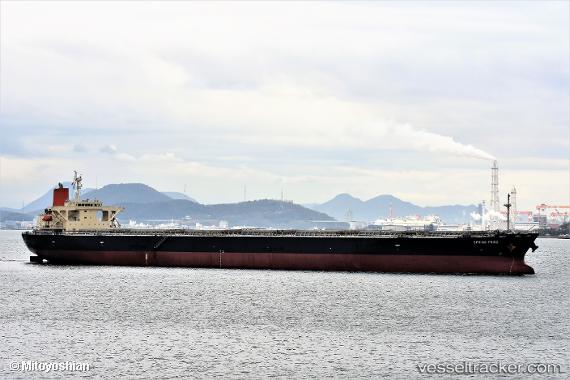
Vessel SEMA M IMO: 9304150, MMSI: 636021876 Bulk Carrier
UTC, 4.01485, 105.88862, course: 222, speed: 11
UTC, 3.76699, 105.72402, course: 210, speed: 11
2026-02-26 03:28:49 UTC, 3.50064, 105.57753, course: 210, speed: 11.2
Live AIS position:
UTC. 42 nm NW of Terempa),
updated 2026-02-26 03:28:49 UTC.
Find the position of the vessel SEMA M on the map. The latter are known coordinates and path.
marine traffic ship tracker show on live map
The current position of vessel SEMA M is 3.50064 lat / 105.57753 lng. Updated: 2026-02-26 03:28:49 UTCCurrently sailing under the flag of Liberia
SEMA M built in 2007 year
Deadweight:
106552 tDetails:
Last coordinates of the vessel:
UTC, 4.25559, 106.10805, course: -1, speed: 10.9UTC, 4.01485, 105.88862, course: 222, speed: 11
UTC, 3.76699, 105.72402, course: 210, speed: 11
2026-02-26 03:28:49 UTC, 3.50064, 105.57753, course: 210, speed: 11.2