 vesseltracker.com
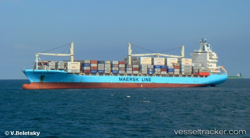
Vessel Chiquita Express IMO: 9304758, MMSI: 636017218 Container Ship
UTC, 39.71842, -75.52128, course: 113, speed: 0
UTC, 39.61928, -75.57975, course: 167, speed: 16.1
2026-01-29 08:03:56 UTC, 39.14690, -75.24302, course: 145, speed: 12.1
Live AIS position:
UTC. 10 nm N of Big Stone),
updated 2026-01-29 08:03:56 UTC.
Find the position of the vessel Chiquita Express on the map. The latter are known coordinates and path.
marine traffic ship tracker show on live map
The current position of vessel Chiquita Express is 39.14690 lat / -75.24302 lng. Updated: 2026-01-29 08:03:56 UTCCurrently sailing under the flag of Liberia
Chiquita Express built in 2005 year
Deadweight:
34426 tDetails:
Last coordinates of the vessel:
UTC, 39.71845, -75.52130, course: 113, speed: 0UTC, 39.71842, -75.52128, course: 113, speed: 0
UTC, 39.61928, -75.57975, course: 167, speed: 16.1
2026-01-29 08:03:56 UTC, 39.14690, -75.24302, course: 145, speed: 12.1