 vesseltracker.com
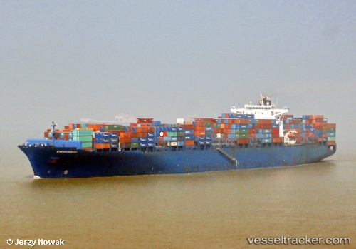
Vessel Petrohue IMO: 9306184, MMSI: 636016850 Container Ship
UTC, 23.00746, -87.34127, course: 130, speed: 13.8
UTC, 23.00746, -87.34127, course: 130, speed: 13.8
2026-01-04 11:58:46 UTC, 23.00746, -87.34127, course: 130, speed: 13.8
Live AIS position:
UTC. 111 nm N of ISLA MUJERES),
updated 2026-01-04 11:58:46 UTC.
Find the position of the vessel Petrohue on the map. The latter are known coordinates and path.
marine traffic ship tracker show on live map
The current position of vessel Petrohue is 23.00746 lat / -87.34127 lng. Updated: 2026-01-04 11:58:46 UTCDetails:
Last coordinates of the vessel:
UTC, 23.00746, -87.34127, course: 130, speed: 13.8UTC, 23.00746, -87.34127, course: 130, speed: 13.8
UTC, 23.00746, -87.34127, course: 130, speed: 13.8
2026-01-04 11:58:46 UTC, 23.00746, -87.34127, course: 130, speed: 13.8