 vesseltracker.com
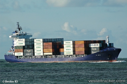
Vessel Magnus F IMO: 9306835, MMSI: 304903000 Multi Purpose Carrier
UTC, 42.26638, 33.02906, course: 255, speed: 13.2
UTC, 42.18571, 32.61314, course: 246, speed: 12.8
2026-02-21 15:11:51 UTC, 42.09519, 32.29304, course: 252, speed: 12.8
Live AIS position:
UTC. 25 nm N of Bartin),
updated 2026-02-21 15:11:51 UTC.
Find the position of the vessel Magnus F on the map. The latter are known coordinates and path.
marine traffic ship tracker show on live map
The current position of vessel Magnus F is 42.09519 lat / 32.29304 lng. Updated: 2026-02-21 15:11:51 UTCCurrently sailing under the flag of Antigua Barbuda
Magnus F built in 2006 year
Deadweight:
13760 tDetails:
Last coordinates of the vessel:
UTC, 42.30611, 33.79147, course: 269, speed: 13.2UTC, 42.26638, 33.02906, course: 255, speed: 13.2
UTC, 42.18571, 32.61314, course: 246, speed: 12.8
2026-02-21 15:11:51 UTC, 42.09519, 32.29304, course: 252, speed: 12.8