 vesseltracker.com
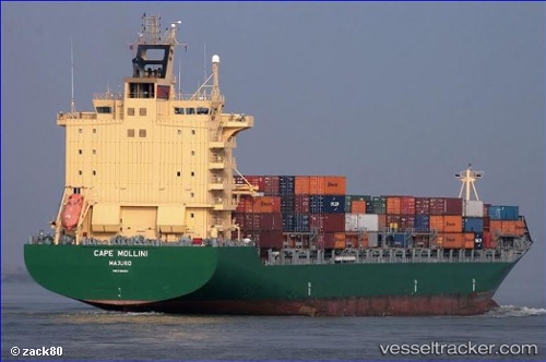
Vessel GSL ELIZABETH IMO: 9308429, MMSI: 636021006 Container Ship
UTC, 54.07308, 8.14016, course: 250, speed: 3.4
UTC, 53.88544, 7.75312, course: 117, speed: 7.8
2026-02-26 17:44:27 UTC, 53.74642, 8.05354, course: 165, speed: 14.3
Live AIS position:
UTC. Near Horumersiel),
updated 2026-02-26 17:44:27 UTC.
Find the position of the vessel GSL ELIZABETH on the map. The latter are known coordinates and path.
marine traffic ship tracker show on live map
The current position of vessel GSL ELIZABETH is 53.74642 lat / 8.05354 lng. Updated: 2026-02-26 17:44:27 UTCCurrently sailing under the flag of Liberia
GSL ELIZABETH built in 2006 year
Deadweight:
37883 tDetails:
Last coordinates of the vessel:
UTC, 54.07458, 8.13936, course: 221, speed: 0UTC, 54.07308, 8.14016, course: 250, speed: 3.4
UTC, 53.88544, 7.75312, course: 117, speed: 7.8
2026-02-26 17:44:27 UTC, 53.74642, 8.05354, course: 165, speed: 14.3