 vesseltracker.com
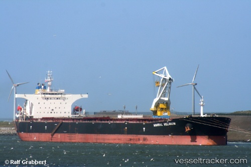
Vessel XIANG RONG IMO: 9309021, MMSI: 352001498 Bulk Carrier
UTC, 17.30610, 73.20963, course: 222, speed: 0
UTC, 17.30608, 73.20956, course: 222, speed: 0.1
2026-01-19 00:54:57 UTC, 17.30602, 73.20956, course: 222, speed: 0
Live AIS position:
UTC. Near JAIGAD),
updated 2026-01-19 00:54:57 UTC.
Find the position of the vessel XIANG RONG on the map. The latter are known coordinates and path.
marine traffic ship tracker show on live map
The current position of vessel XIANG RONG is 17.30602 lat / 73.20956 lng. Updated: 2026-01-19 00:54:57 UTCCurrently sailing under the flag of Panama
XIANG RONG built in 2005 year
Deadweight:
173806 tDetails:
Last coordinates of the vessel:
UTC, 17.30605, 73.20956, course: 222, speed: 0.1UTC, 17.30610, 73.20963, course: 222, speed: 0
UTC, 17.30608, 73.20956, course: 222, speed: 0.1
2026-01-19 00:54:57 UTC, 17.30602, 73.20956, course: 222, speed: 0