 vesseltracker.com
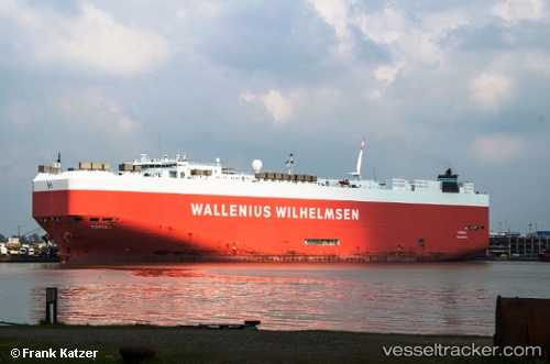
Vessel Liberty IMO: 9310109, MMSI: 367125000 Vehicles Carrier
UTC, 27.17042, -94.06424, course: 144, speed: 15.1
UTC, 26.53522, -93.57448, course: 155, speed: 15.3
2026-02-18 15:42:42 UTC, 26.23786, -93.37516, course: 153, speed: 15.3
Live AIS position:
UTC. 164 nm SW of Gulfmex Lightering Area),
updated 2026-02-18 15:42:42 UTC.
Find the position of the vessel Liberty on the map. The latter are known coordinates and path.
marine traffic ship tracker show on live map
The current position of vessel Liberty is 26.23786 lat / -93.37516 lng. Updated: 2026-02-18 15:42:42 UTCCurrently sailing under the flag of USA
Liberty built in 2006 year
Deadweight:
19628 tDetails:
Last coordinates of the vessel:
UTC, 27.40185, -94.25091, course: 144, speed: 15.3UTC, 27.17042, -94.06424, course: 144, speed: 15.1
UTC, 26.53522, -93.57448, course: 155, speed: 15.3
2026-02-18 15:42:42 UTC, 26.23786, -93.37516, course: 153, speed: 15.3