 vesseltracker.com
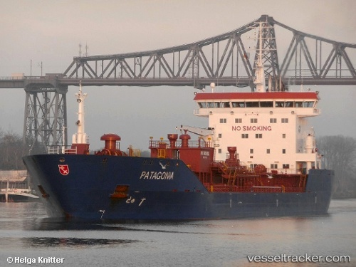
Vessel LUMINA T IMO: 9312080, MMSI: 352003892 Oil/Chemical Tanker
UTC, 6.00935, 1.27727, course: 190, speed: 0.1
UTC, 6.00944, 1.27738, course: 199, speed: 0.1
2026-02-21 22:25:51 UTC, 6.05015, 1.22069, course: 146, speed: 0.2
Live AIS position:
UTC. Near Lome),
updated 2026-02-21 22:25:51 UTC.
Find the position of the vessel LUMINA T on the map. The latter are known coordinates and path.
marine traffic ship tracker show on live map
The current position of vessel LUMINA T is 6.05015 lat / 1.22069 lng. Updated: 2026-02-21 22:25:51 UTCCurrently sailing under the flag of Panama
Details:
Last coordinates of the vessel:
UTC, 6.00914, 1.27674, course: 167, speed: 0UTC, 6.00935, 1.27727, course: 190, speed: 0.1
UTC, 6.00944, 1.27738, course: 199, speed: 0.1
2026-02-21 22:25:51 UTC, 6.05015, 1.22069, course: 146, speed: 0.2