 vesseltracker.com
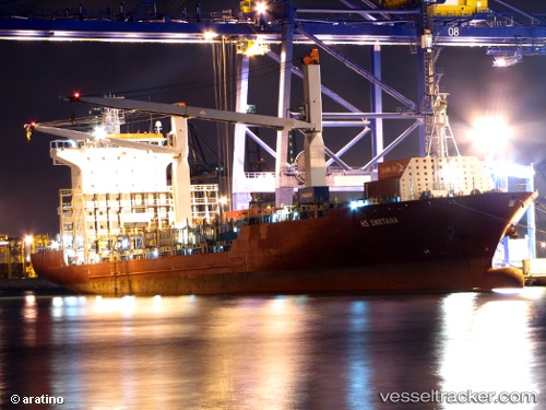
Vessel Anassa IMO: 9312652, MMSI: 248269000 Container Ship
UTC, -14.33886, 40.75249, course: 18, speed: 0.2
UTC, -14.33702, 40.75472, course: 292, speed: 0.3
2026-02-21 11:28:37 UTC, -14.33500, 40.75333, course: -1, speed: 0
Live AIS position:
UTC. 13 nm NE of NACALA PORTO),
updated 2026-02-21 11:28:37 UTC.
Find the position of the vessel Anassa on the map. The latter are known coordinates and path.
marine traffic ship tracker show on live map
The current position of vessel Anassa is -14.33500 lat / 40.75333 lng. Updated: 2026-02-21 11:28:37 UTCDetails:
Last coordinates of the vessel:
UTC, -14.33849, 40.75155, course: 59, speed: 0UTC, -14.33886, 40.75249, course: 18, speed: 0.2
UTC, -14.33702, 40.75472, course: 292, speed: 0.3
2026-02-21 11:28:37 UTC, -14.33500, 40.75333, course: -1, speed: 0