 vesseltracker.com
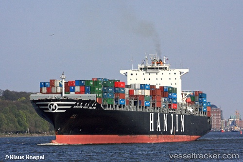
Vessel SM YANTIAN IMO: 9312949, MMSI: 440189000 Container Ship
UTC, 53.41484, -153.56947, course: 102, speed: 19.5
UTC, 53.30449, -152.54012, course: 101, speed: 20
2026-02-14 22:01:15 UTC, 53.17419, -151.42142, course: 101, speed: 19.8
Live AIS position:
UTC. 91 nm W of Kings Bromley),
updated 2026-02-14 22:01:15 UTC.
Find the position of the vessel SM YANTIAN on the map. The latter are known coordinates and path.
marine traffic ship tracker show on live map
The current position of vessel SM YANTIAN is 53.17419 lat / -151.42142 lng. Updated: 2026-02-14 22:01:15 UTCCurrently sailing under the flag of Korea (Republic of)
SM YANTIAN built in 2006 year
Deadweight:
80811 tDetails:
Last coordinates of the vessel:
UTC, 53.54261, -154.90744, course: 98, speed: 19.1UTC, 53.41484, -153.56947, course: 102, speed: 19.5
UTC, 53.30449, -152.54012, course: 101, speed: 20
2026-02-14 22:01:15 UTC, 53.17419, -151.42142, course: 101, speed: 19.8