 vesseltracker.com
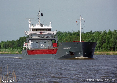
Vessel KVITSAND IMO: 9313797, MMSI: 257754000 General Cargo Ship
UTC, 56.40842, 12.06317, course: -1, speed: 10.8
UTC, 56.09238, 12.56698, course: -1, speed: 12
2026-02-28 12:23:53 UTC, 55.57682, 12.70268, course: 173, speed: 10.8
Live AIS position:
UTC. Near Tårnby),
updated 2026-02-28 12:23:53 UTC.
Find the position of the vessel KVITSAND on the map. The latter are known coordinates and path.
marine traffic ship tracker show on live map
The current position of vessel KVITSAND is 55.57682 lat / 12.70268 lng. Updated: 2026-02-28 12:23:53 UTCCurrently sailing under the flag of Norway (NIS)
KVITSAND built in 2005 year
Deadweight:
6665 tDetails:
Last coordinates of the vessel:
UTC, 56.59669, 11.92629, course: -1, speed: 11.2UTC, 56.40842, 12.06317, course: -1, speed: 10.8
UTC, 56.09238, 12.56698, course: -1, speed: 12
2026-02-28 12:23:53 UTC, 55.57682, 12.70268, course: 173, speed: 10.8