 vesseltracker.com
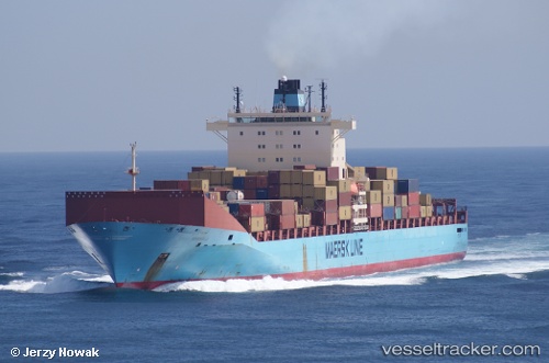
Vessel MSC RITA V IMO: 9313929, MMSI: 636025832 Container Ship
UTC, 39.94905, 0.44356, course: 44, speed: 17.2
UTC, 40.40100, 1.20295, course: 46, speed: 16.8
2026-02-23 16:12:37 UTC, 40.83316, 1.70315, course: 42, speed: 16.9
Live AIS position:
UTC. Near Sampedor),
updated 2026-02-23 16:12:37 UTC.
Find the position of the vessel MSC RITA V on the map. The latter are known coordinates and path.
marine traffic ship tracker show on live map
The current position of vessel MSC RITA V is 40.83316 lat / 1.70315 lng. Updated: 2026-02-23 16:12:37 UTCCurrently sailing under the flag of Liberia
Details:
Last coordinates of the vessel:
UTC, 39.61134, 0.01633, course: 44, speed: 15UTC, 39.94905, 0.44356, course: 44, speed: 17.2
UTC, 40.40100, 1.20295, course: 46, speed: 16.8
2026-02-23 16:12:37 UTC, 40.83316, 1.70315, course: 42, speed: 16.9