 vesseltracker.com
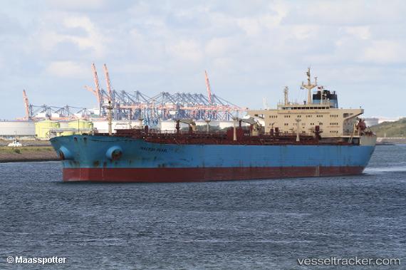
Vessel DIAMOND IMO: 9315446, MMSI: 636022050 Crude Oil Tanker
2026-02-04 14:06:05 UTC, 1.23413, 103.78570, course: 326, speed: 4.9
Live AIS position:
UTC. Near Pasir Panjang Wharves),
updated 2026-02-04 14:06:05 UTC.
Find the position of the vessel DIAMOND on the map. The latter are known coordinates and path.
marine traffic ship tracker show on live map
The current position of vessel DIAMOND is 1.23413 lat / 103.78570 lng. Updated: 2026-02-04 14:06:05 UTCCurrently sailing under the flag of Liberia
DIAMOND built in 2005 year
Deadweight:
109570 tDetails:
Last coordinates of the vessel:
UTC, 1.23413, 103.78570, course: 326, speed: 4.92026-02-04 14:06:05 UTC, 1.23413, 103.78570, course: 326, speed: 4.9