 vesseltracker.com
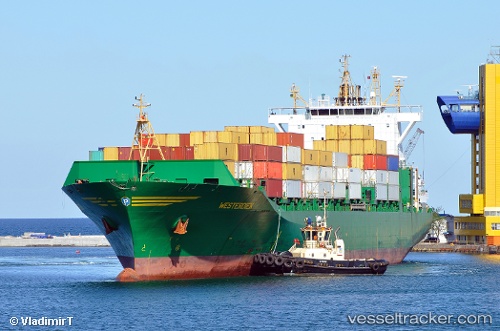
Vessel MSC CELINE IMO: 9316361, MMSI: 373582000 Container Ship
UTC, 19.40640, 118.96989, course: 45, speed: 13.3
UTC, 19.74232, 119.26972, course: 47, speed: 14
2026-01-31 01:35:48 UTC, 19.97240, 119.49489, course: 40, speed: 14.2
Live AIS position:
UTC. 112 nm NW of Bangui),
updated 2026-01-31 01:35:48 UTC.
Find the position of the vessel MSC CELINE on the map. The latter are known coordinates and path.
marine traffic ship tracker show on live map
The current position of vessel MSC CELINE is 19.97240 lat / 119.49489 lng. Updated: 2026-01-31 01:35:48 UTCCurrently sailing under the flag of Panama
MSC CELINE built in 2007 year
Deadweight:
39000 tDetails:
Last coordinates of the vessel:
UTC, 19.10926, 118.68177, course: 48, speed: 12.9UTC, 19.40640, 118.96989, course: 45, speed: 13.3
UTC, 19.74232, 119.26972, course: 47, speed: 14
2026-01-31 01:35:48 UTC, 19.97240, 119.49489, course: 40, speed: 14.2