 vesseltracker.com
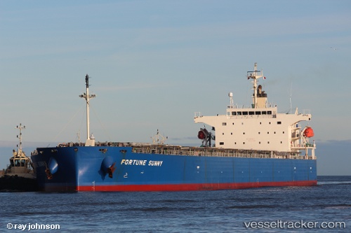
Vessel 636020720 IMO: 9317523, MMSI: 636020720
UTC, -23.54800, 50.35832, course: 247, speed: 7.4
UTC, -23.63001, 50.20456, course: 246, speed: 7.5
2026-02-15 10:05:26 UTC, -23.78333, 49.90500, course: -1, speed: 7
Live AIS position:
UTC. 143 nm SE of Manakara),
updated 2026-02-15 10:05:26 UTC.
Find the position of the vessel 636020720 on the map. The latter are known coordinates and path.
marine traffic ship tracker show on live map
The current position of vessel 636020720 is -23.78333 lat / 49.90500 lng. Updated: 2026-02-15 10:05:26 UTCDetails:
Last coordinates of the vessel:
UTC, -23.39352, 50.62977, course: 239, speed: 7.2UTC, -23.54800, 50.35832, course: 247, speed: 7.4
UTC, -23.63001, 50.20456, course: 246, speed: 7.5
2026-02-15 10:05:26 UTC, -23.78333, 49.90500, course: -1, speed: 7