 vesseltracker.com
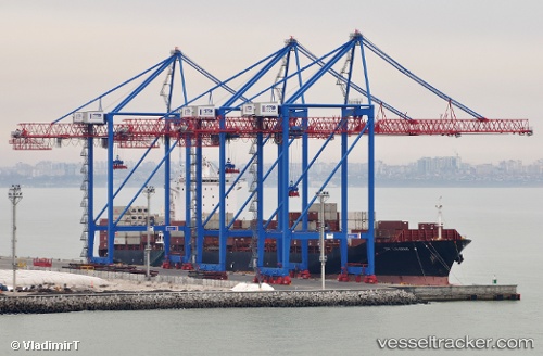
Vessel X Press Kilimanjaro IMO: 9318175, MMSI: 636013001 Container Ship
UTC, 34.31377, -53.38584, course: 279, speed: 14.9
UTC, 34.36365, -53.72858, course: 275, speed: 12.7
2026-02-13 02:16:52 UTC, 34.43695, -54.28106, course: 271, speed: 11
Live AIS position:
UTC. 223 nm SW of Benahavis),
updated 2026-02-13 02:16:52 UTC.
Find the position of the vessel X Press Kilimanjaro on the map. The latter are known coordinates and path.
marine traffic ship tracker show on live map
The current position of vessel X Press Kilimanjaro is 34.43695 lat / -54.28106 lng. Updated: 2026-02-13 02:16:52 UTCCurrently sailing under the flag of Liberia
X Press Kilimanjaro built in 2006 year
Deadweight:
50689 tDetails:
Last coordinates of the vessel:
UTC, 34.16103, -52.44411, course: 276, speed: 16.3UTC, 34.31377, -53.38584, course: 279, speed: 14.9
UTC, 34.36365, -53.72858, course: 275, speed: 12.7
2026-02-13 02:16:52 UTC, 34.43695, -54.28106, course: 271, speed: 11