 vesseltracker.com
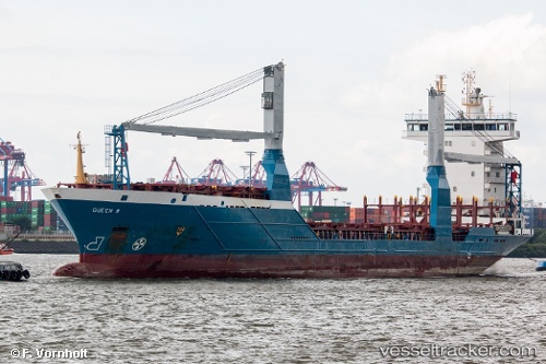
Vessel Queen B IMO: 9318929, MMSI: 212960000 Container Ship
UTC, 26.14948, -86.29248, course: 247, speed: 13.9
UTC, 25.97560, -86.71193, course: 241, speed: 13.8
2026-02-26 23:59:25 UTC, 25.68631, -87.28449, course: 245, speed: 14.1
Live AIS position:
UTC. 219 nm NE of Munshiganj),
updated 2026-02-26 23:59:25 UTC.
Find the position of the vessel Queen B on the map. The latter are known coordinates and path.
marine traffic ship tracker show on live map
The current position of vessel Queen B is 25.68631 lat / -87.28449 lng. Updated: 2026-02-26 23:59:25 UTCCurrently sailing under the flag of Cyprus
Queen B built in 2004 year
Deadweight:
8223 tDetails:
Last coordinates of the vessel:
UTC, 26.28777, -86.03084, course: 246, speed: 14.5UTC, 26.14948, -86.29248, course: 247, speed: 13.9
UTC, 25.97560, -86.71193, course: 241, speed: 13.8
2026-02-26 23:59:25 UTC, 25.68631, -87.28449, course: 245, speed: 14.1