 vesseltracker.com
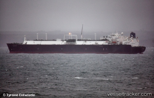
Vessel Golar Maria IMO: 9320374, MMSI: 538002609 Lng Tanker
UTC, 29.09537, -94.62404, course: 88, speed: 0
UTC, 29.09637, -94.62399, course: 111, speed: 0
2026-02-14 15:26:08 UTC, 29.09671, -94.62397, course: 124, speed: 0.3
Live AIS position:
UTC. 15 nm SE of Sheppard),
updated 2026-02-14 15:26:08 UTC.
Find the position of the vessel Golar Maria on the map. The latter are known coordinates and path.
marine traffic ship tracker show on live map
The current position of vessel Golar Maria is 29.09671 lat / -94.62397 lng. Updated: 2026-02-14 15:26:08 UTCDetails:
Last coordinates of the vessel:
UTC, 29.09620, -94.62386, course: 112, speed: 0UTC, 29.09537, -94.62404, course: 88, speed: 0
UTC, 29.09637, -94.62399, course: 111, speed: 0
2026-02-14 15:26:08 UTC, 29.09671, -94.62397, course: 124, speed: 0.3