 vesseltracker.com
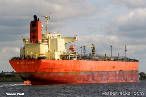
Vessel Georgia M IMO: 9321196, MMSI: 372796000 Oil Products Tanker
UTC, 19.21119, 38.90993, course: 319, speed: 13.5
UTC, 19.45309, 38.74928, course: 336, speed: 13.5
2026-02-11 09:21:34 UTC, 19.79443, 38.55865, course: 335, speed: 14.1
Live AIS position:
UTC. 75 nm SW of SHUAIBAH),
updated 2026-02-11 09:21:34 UTC.
Find the position of the vessel Georgia M on the map. The latter are known coordinates and path.
marine traffic ship tracker show on live map
The current position of vessel Georgia M is 19.79443 lat / 38.55865 lng. Updated: 2026-02-11 09:21:34 UTCDetails:
Last coordinates of the vessel:
UTC, 18.80664, 39.05096, course: 355, speed: 11.9UTC, 19.21119, 38.90993, course: 319, speed: 13.5
UTC, 19.45309, 38.74928, course: 336, speed: 13.5
2026-02-11 09:21:34 UTC, 19.79443, 38.55865, course: 335, speed: 14.1