 vesseltracker.com
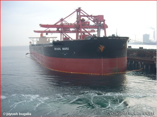
Vessel BRASIL MARU IMO: 9321275, MMSI: 431563000 Ore Carrier
UTC, -7.96500, -30.32833, course: -1, speed: 11
UTC, -8.17500, -30.05833, course: -1, speed: 12
2026-02-28 01:34:51 UTC, -8.35780, -29.81743, course: 126, speed: 12.1
Live AIS position:
UTC. 282 nm S of Aquiraz),
updated 2026-02-28 01:34:51 UTC.
Find the position of the vessel BRASIL MARU on the map. The latter are known coordinates and path.
marine traffic ship tracker show on live map
The current position of vessel BRASIL MARU is -8.35780 lat / -29.81743 lng. Updated: 2026-02-28 01:34:51 UTCCurrently sailing under the flag of Japan
Details:
Last coordinates of the vessel:
UTC, -7.68712, -30.68726, course: 128, speed: 11.8UTC, -7.96500, -30.32833, course: -1, speed: 11
UTC, -8.17500, -30.05833, course: -1, speed: 12
2026-02-28 01:34:51 UTC, -8.35780, -29.81743, course: 126, speed: 12.1