 vesseltracker.com
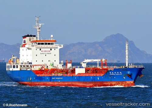
Vessel EMMA IMO: 9321421, MMSI: 750801000 Tanker
UTC, 29.92707, 32.53493, course: 328, speed: 2.8
UTC, 29.92905, 32.53358, course: 7, speed: 0
2026-02-25 16:11:24 UTC, 29.92907, 32.53386, course: 353, speed: 0
Live AIS position:
UTC. Near Bur Ibrahim),
updated 2026-02-25 16:11:24 UTC.
Find the position of the vessel EMMA on the map. The latter are known coordinates and path.
marine traffic ship tracker show on live map
The current position of vessel EMMA is 29.92907 lat / 32.53386 lng. Updated: 2026-02-25 16:11:24 UTCDetails:
Last coordinates of the vessel:
UTC, 29.86093, 32.58555, course: 190, speed: 0UTC, 29.92707, 32.53493, course: 328, speed: 2.8
UTC, 29.92905, 32.53358, course: 7, speed: 0
2026-02-25 16:11:24 UTC, 29.92907, 32.53386, course: 353, speed: 0