 vesseltracker.com
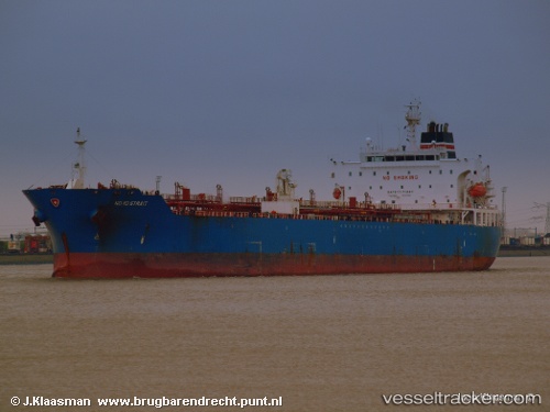
Vessel WELL SAIL IMO: 9321938, MMSI: 538012177 Oil/Chemical Tanker
UTC, 29.34754, 49.64139, course: 89, speed: 0.3
UTC, 29.35234, 49.64853, course: 194, speed: 0.2
2026-02-27 00:19:20 UTC, 29.34333, 49.64333, course: -1, speed: 0
Live AIS position:
UTC. 21 nm NE of Soroosh (Cyrus) Terminal),
updated 2026-02-27 00:19:20 UTC.
Find the position of the vessel WELL SAIL on the map. The latter are known coordinates and path.
marine traffic ship tracker show on live map
The current position of vessel WELL SAIL is 29.34333 lat / 49.64333 lng. Updated: 2026-02-27 00:19:20 UTCCurrently sailing under the flag of Marshall Islands
Details:
Last coordinates of the vessel:
UTC, 29.34333, 49.64167, course: -1, speed: 0UTC, 29.34754, 49.64139, course: 89, speed: 0.3
UTC, 29.35234, 49.64853, course: 194, speed: 0.2
2026-02-27 00:19:20 UTC, 29.34333, 49.64333, course: -1, speed: 0