 vesseltracker.com
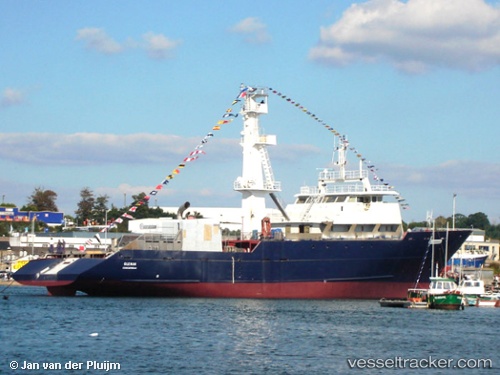
Vessel F/V LAYLA IMO: 9322669, MMSI: 461000227 Fishing
UTC, -12.72833, 53.68167, course: -1, speed: 12
UTC, -12.58634, 53.57380, course: 318, speed: 12.7
2026-02-28 00:27:47 UTC, -12.58634, 53.57380, course: 318, speed: 12.7
Live AIS position:
UTC. 315 nm E of Nosy-Be),
updated 2026-02-28 00:27:47 UTC.
Find the position of the vessel F/V LAYLA on the map. The latter are known coordinates and path.
marine traffic ship tracker show on live map
The current position of vessel F/V LAYLA is -12.58634 lat / 53.57380 lng. Updated: 2026-02-28 00:27:47 UTCCurrently sailing under the flag of Oman
Details:
Last coordinates of the vessel:
UTC, -13.13833, 53.99833, course: -1, speed: 13UTC, -12.72833, 53.68167, course: -1, speed: 12
UTC, -12.58634, 53.57380, course: 318, speed: 12.7
2026-02-28 00:27:47 UTC, -12.58634, 53.57380, course: 318, speed: 12.7