 vesseltracker.com
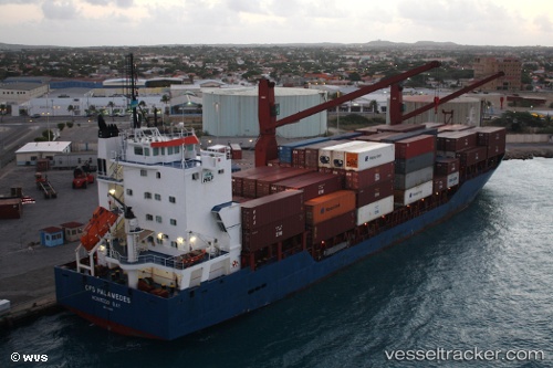
Vessel SING IMO: 9322841, MMSI: 314001138 Cargo
UTC, 37.63172, 7.28650, course: 257, speed: 11.5
UTC, 37.54384, 6.70433, course: 259, speed: 12.9
2026-02-27 17:32:26 UTC, 37.49867, 6.38126, course: 260, speed: 11.3
Live AIS position:
UTC. 11 nm NE of Huévar),
updated 2026-02-27 17:32:26 UTC.
Find the position of the vessel SING on the map. The latter are known coordinates and path.
marine traffic ship tracker show on live map
The current position of vessel SING is 37.49867 lat / 6.38126 lng. Updated: 2026-02-27 17:32:26 UTCCurrently sailing under the flag of Barbados
Details:
Last coordinates of the vessel:
UTC, 37.68319, 7.62863, course: 261, speed: 11.3UTC, 37.63172, 7.28650, course: 257, speed: 11.5
UTC, 37.54384, 6.70433, course: 259, speed: 12.9
2026-02-27 17:32:26 UTC, 37.49867, 6.38126, course: 260, speed: 11.3