 vesseltracker.com
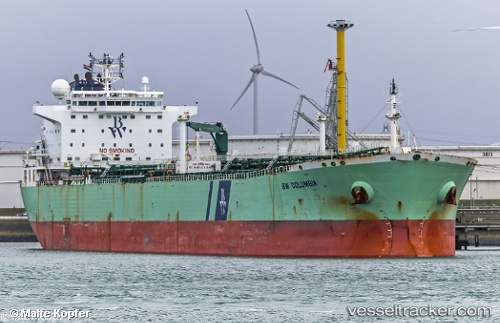
Vessel Bw Columbia IMO: 9324291, MMSI: 564977000 Oil Products Tanker
UTC, 14.48955, 54.51485, course: 86, speed: 12.5
UTC, 14.67495, 54.90642, course: 68, speed: 12.2
2026-03-04 02:40:56 UTC, 14.87407, 55.32891, course: 68, speed: 12.3
Live AIS position:
UTC. 145 nm SE of Port Raysut),
updated 2026-03-04 02:40:56 UTC.
Find the position of the vessel Bw Columbia on the map. The latter are known coordinates and path.
marine traffic ship tracker show on live map
The current position of vessel Bw Columbia is 14.87407 lat / 55.32891 lng. Updated: 2026-03-04 02:40:56 UTCDetails:
Last coordinates of the vessel:
UTC, 14.48218, 54.43055, course: 86, speed: 12.2UTC, 14.48955, 54.51485, course: 86, speed: 12.5
UTC, 14.67495, 54.90642, course: 68, speed: 12.2
2026-03-04 02:40:56 UTC, 14.87407, 55.32891, course: 68, speed: 12.3