 vesseltracker.com
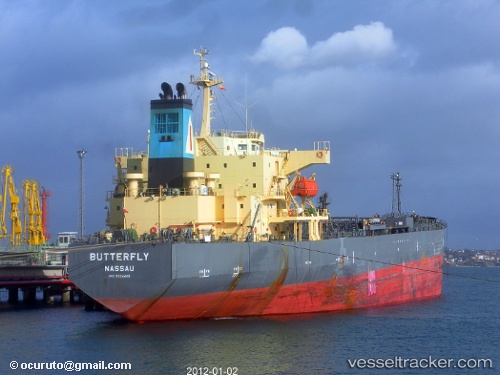
Vessel COSMOGRAPH IMO: 9324459, MMSI: 538008757 Oil Products Tanker
UTC, 13.24257, 43.06914, course: 333, speed: 10.9
UTC, 13.48921, 42.75426, course: 308, speed: 11.4
2026-02-25 14:14:05 UTC, 13.91308, 42.44313, course: 327, speed: 10.8
Live AIS position:
UTC. 50 nm N of Dabo),
updated 2026-02-25 14:14:05 UTC.
Find the position of the vessel COSMOGRAPH on the map. The latter are known coordinates and path.
marine traffic ship tracker show on live map
The current position of vessel COSMOGRAPH is 13.91308 lat / 42.44313 lng. Updated: 2026-02-25 14:14:05 UTCCurrently sailing under the flag of Marshall Islands
COSMOGRAPH built in 2005 year
Deadweight:
47326 tDetails:
Last coordinates of the vessel:
UTC, 13.04035, 43.16645, course: 336, speed: 11.4UTC, 13.24257, 43.06914, course: 333, speed: 10.9
UTC, 13.48921, 42.75426, course: 308, speed: 11.4
2026-02-25 14:14:05 UTC, 13.91308, 42.44313, course: 327, speed: 10.8