 vesseltracker.com
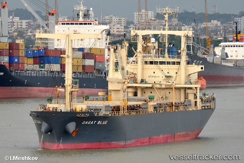
Vessel Stl Harvest IMO: 9325374, MMSI: 353055000 General Cargo Ship
UTC, 15.14559, 55.64514, course: 72, speed: 11.2
UTC, 15.05619, 56.17836, course: 117, speed: 10.9
2026-02-27 14:51:19 UTC, 15.05619, 56.17836, course: 117, speed: 10.9
Live AIS position:
UTC. 168 nm SE of Port Raysut),
updated 2026-02-27 14:51:19 UTC.
Find the position of the vessel Stl Harvest on the map. The latter are known coordinates and path.
marine traffic ship tracker show on live map
The current position of vessel Stl Harvest is 15.05619 lat / 56.17836 lng. Updated: 2026-02-27 14:51:19 UTCDetails:
Last coordinates of the vessel:
UTC, 15.13806, 55.62150, course: 73, speed: 11.2UTC, 15.14559, 55.64514, course: 72, speed: 11.2
UTC, 15.05619, 56.17836, course: 117, speed: 10.9
2026-02-27 14:51:19 UTC, 15.05619, 56.17836, course: 117, speed: 10.9