 vesseltracker.com
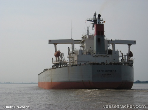
Vessel 'CAPE FRIENDSHIP' IMO: 9327736, MMSI: 538006665
UTC, 18.43807, -8.35943, course: 91, speed: 1.1
UTC, 18.43807, -8.35943, course: 91, speed: 1.1
UTC, 0.03256, -156.92738, course: -1, speed: 34.3
UTC, 0.03256, -156.92738, course: -1, speed: 34.3
2026-02-03 08:28:07 UTC, 0.03256, -156.92738, course: -1, speed: 34.3
Live AIS position:
UTC. 121 nm S of Christmas Island),
updated 2026-02-03 08:28:07 UTC.
Find the position of the vessel 'CAPE FRIENDSHIP' on the map. The latter are known coordinates and path.
marine traffic ship tracker show on live map
The current position of vessel 'CAPE FRIENDSHIP' is 0.03256 lat / -156.92738 lng. Updated: 2026-02-03 08:28:07 UTCDetails:
Last coordinates of the vessel:
UTC, 18.43807, -8.35943, course: 91, speed: 1.1UTC, 18.43807, -8.35943, course: 91, speed: 1.1
UTC, 18.43807, -8.35943, course: 91, speed: 1.1
UTC, 0.03256, -156.92738, course: -1, speed: 34.3
UTC, 0.03256, -156.92738, course: -1, speed: 34.3
2026-02-03 08:28:07 UTC, 0.03256, -156.92738, course: -1, speed: 34.3