 vesseltracker.com
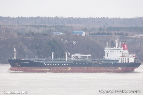
Vessel AHINOS IMO: 9328144, MMSI: 636024537 Chemical Oil Products Tanker
UTC, 1.22861, 103.81078, course: 327, speed: 0
UTC, 1.22762, 103.80791, course: 46, speed: 0
2026-01-18 12:35:53 UTC, 1.22773, 103.80770, course: 58, speed: 0
Live AIS position:
UTC. Near Pasir Panjang Wharves),
updated 2026-01-18 12:35:53 UTC.
Find the position of the vessel AHINOS on the map. The latter are known coordinates and path.
marine traffic ship tracker show on live map
The current position of vessel AHINOS is 1.22773 lat / 103.80770 lng. Updated: 2026-01-18 12:35:53 UTCCurrently sailing under the flag of Liberia
AHINOS built in 2007 year
Deadweight:
53187 tDetails:
Last coordinates of the vessel:
UTC, 1.22905, 103.81096, course: 310, speed: 0UTC, 1.22861, 103.81078, course: 327, speed: 0
UTC, 1.22762, 103.80791, course: 46, speed: 0
2026-01-18 12:35:53 UTC, 1.22773, 103.80770, course: 58, speed: 0