 vesseltracker.com
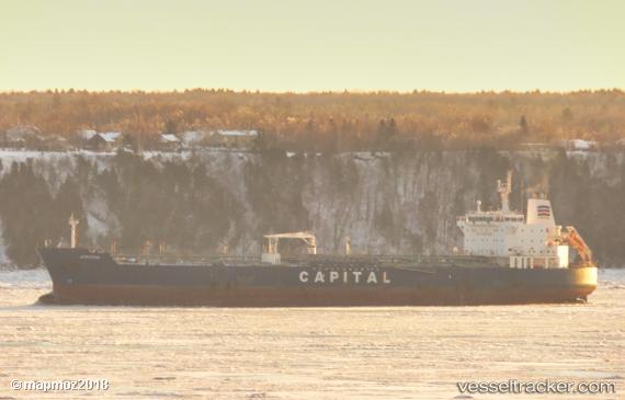
Vessel Atrotos IMO: 9328285, MMSI: 636016407 Chemical Oil Products Tanker
UTC, 12.60833, -92.93167, course: -1, speed: 13
UTC, 12.44500, -92.55167, course: -1, speed: 13
2026-02-18 02:06:02 UTC, 12.21167, -92.03833, course: -1, speed: 13
Live AIS position:
UTC. 115 nm SW of Sipacate),
updated 2026-02-18 02:06:02 UTC.
Find the position of the vessel Atrotos on the map. The latter are known coordinates and path.
marine traffic ship tracker show on live map
The current position of vessel Atrotos is 12.21167 lat / -92.03833 lng. Updated: 2026-02-18 02:06:02 UTCCurrently sailing under the flag of Liberia
Atrotos built in 2007 year
Deadweight:
47787 tDetails:
Last coordinates of the vessel:
UTC, 12.78333, -93.31333, course: -1, speed: 13UTC, 12.60833, -92.93167, course: -1, speed: 13
UTC, 12.44500, -92.55167, course: -1, speed: 13
2026-02-18 02:06:02 UTC, 12.21167, -92.03833, course: -1, speed: 13